
Here is your forecast for Friday, April 11th, 2025.
Gusty winds and dry conditions have triggered a couple of small wildfires this afternoon in Lee County. The fire threat will increase on Saturday with gusts to 25 mph and humidity even drier below 35%. Any fire that starts could spread quickly.
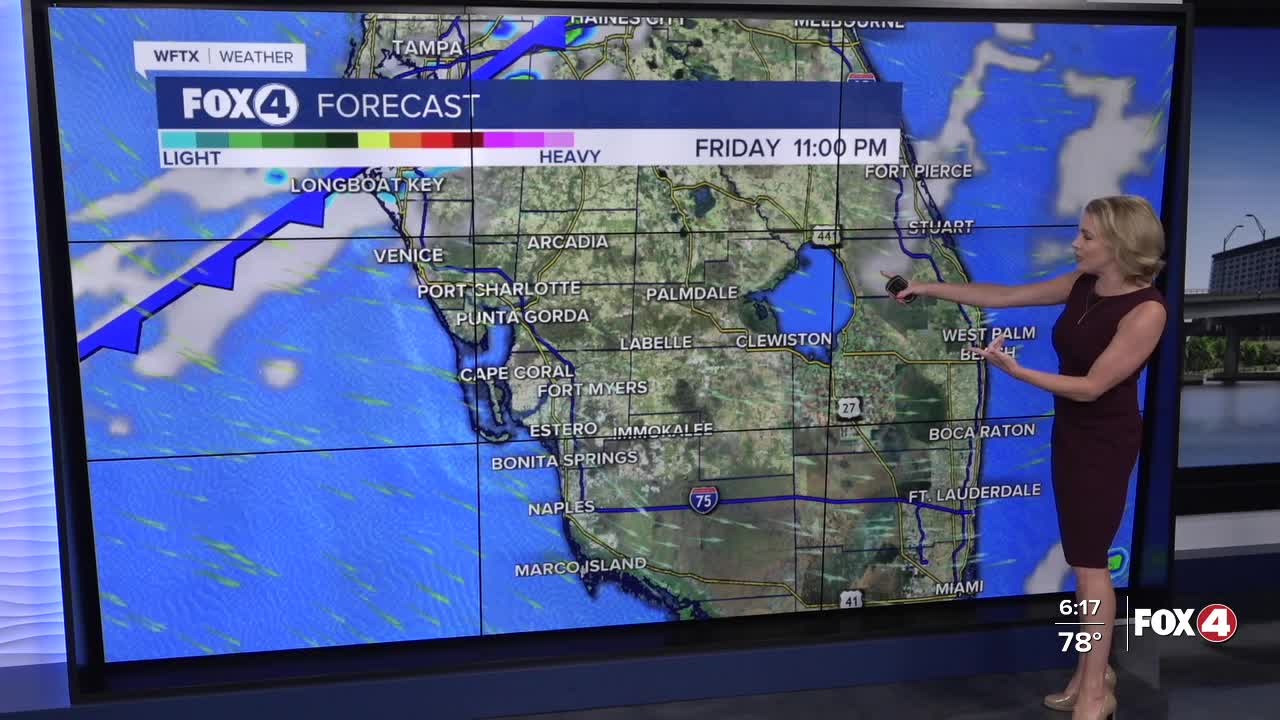
Overnight, a cold front moves through. We'll have a couple of showers between 2-5am. Otherwise, your weekend will be dry.
Following the front, Saturday will feature lots of sunshine and cooler high temperatures in the upper 70s and lower 80s, about 5° cooler than average. Winds will gust out of the northwest between 20-25 mph.
Following the front, Sunday morning will also be cooler in the 50s. Lots of sunshine is expected on Sunday and winds won't be as strong, out of the northeast around 10 mph. High temperatures Sunday afternoon are expected in the lower 80s.
We warm up pretty quickly next week with highs in the upper 80s Tuesday and Wednesday as we stay sunny and dry.
FOX 4 EVENING METEOROLOGIST KATIE WALLS
If you don't already have our Fox 4 mobile app, you can download it here.
