

Here is the forecast for Wednesday, July 17th 2024.
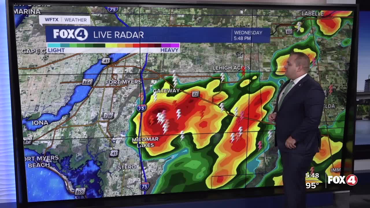
Good evening, Southwest Florida! This evening, we are tracking isolated showers and thunderstorms in Collier and Hendry Countries. Rain coverage will be reduced some this evening as bit of "drier" air is moving over Southwest Florida. That will change tomorrow. As for tonight, look for partly cloudy skies and temperatures dropping into the upper 70s.
Thursday will start with mostly sunny skies as temperatures climb into the lower 90s, with feels like temperatures into the triple digits. Storm chances will return Thursday afternoon with storms forming near the coast in the early afternoon and then pushing inland in the evening hours.
Our rain chances stay high in the days ahead with Friday, Saturday, and Sunday having a 70% chance of rain, that goes up to 80% on Monday could be as high more moisture and a little disturbance moves over Southwest Florida. Also, this weekend, look for an increase in Saharan Dust on Sunday. When dust is around, thunderstorms tend to produce more lightning.
FOX 4 METEOROLOGIST ANDREW SHIPLEY
If you don't already have our Fox 4 mobile app, you can download it here.
