

Here is your forecast for Monday, June 23rd, 2025
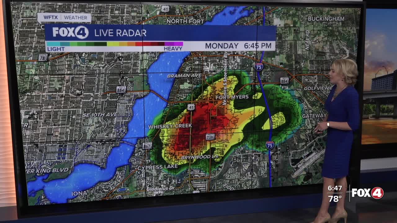
Storms are winding down across SWFL and should be clearing out by sunset. Overnight, clouds will clear and we'll kick off Tuesday with lots of sunshine and lows in the mid to upper 70s.
The forecast for tomorrow is very similar to today with highs around 94° and developing showers and storms after 2pm. Because of the easterly flow, storms will initialize inland then work their way westward, toward the coast in the late afternoon, evening hours.
Stay weather aware on Wednesday and Thursday. An upper-level disturbance is expected to increase the threat for strong/severe storms. Primary severe threats include gusty, damaging wind and hail. The threat is expected to continue on Thursday. We'll continue to fine-tune the timing as new information arrives.
TROPICAL UPDATE
The National Hurricane Center is monitoring an area east of Bermuda that has a small window today or tomorrow morning to become the first named storm of the season. That name is Andrea. This is not out of the ordinary. As a matter of fact, we usually see our first name storm by June 20th. This system is NOT a threat to land.
FOX 4 EVENING METEOROLOGIST KATIE WALLS
If you don't already have our Fox 4 mobile app, you can download it here.
