

Here is your forecast for Wednesday, November 26th, 2025.
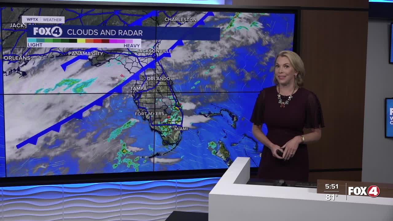
A few spotty showers are possible this evening in our inland communities ahead of tomorrow's cold front.
If you're traveling to see loved ones, heads up! That extra moisture will also be conducive for developing fog between 4-8am.
Morning temperatures will start off in the 60s, fairly mild ahead of the front that will come through midday. You'll know it's cleared your neighborhood when winds pick up out of the north and gust between 20-25 mph. These gusty winds are expected Friday and Saturday as well. Small Craft Advisories may be necessary but haven't been issued yet.
Those northerly winds will drive in much colder air. Friday morning, we'll wake up to widespread 40s. Afternoon highs on Friday will struggle to hit 70°. Saturday will also be on the cooler side. By Sunday, winds shift and highs return to the lower 80s.
Unfortunately, we don't see a significant chance of rain in the 7-Day forecast. We need the rain as Fort Myers is 17.65" behind for the year. Punta Gorda is 12.93" behind and Naples is 7.27" behind. All of Southwest Florida is registering on the U.S. Drought Monitor with some areas now at "Moderate Drought" which is level 2 out of 5. We will get an update on the drought conditions tomorrow around 9am.
FOX 4 EVENING METEOROLOGIST KATIE WALLS
If you don't already have our Fox 4 mobile app, you can download it here.
