

Here is your forecast for Friday, September 12th, 2025.
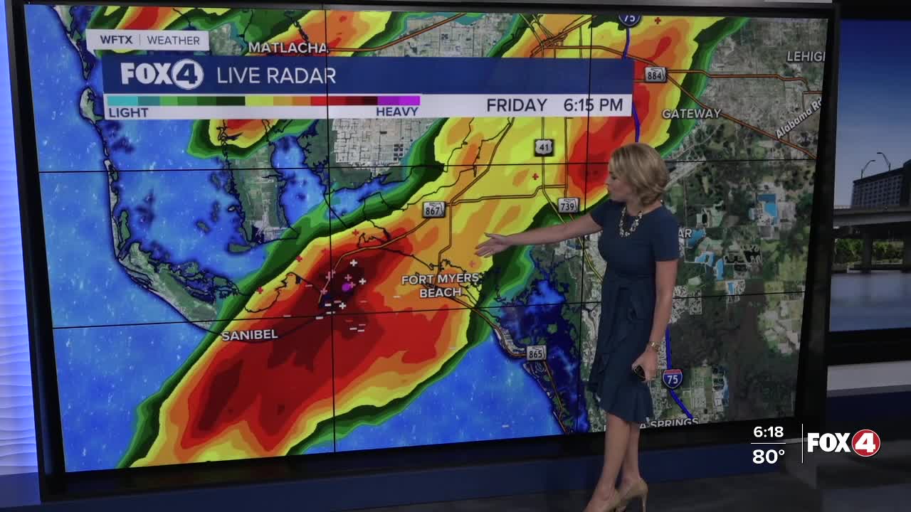
Showers and storms will continue this evening, wrapping up by midnight. Overnight, clouds clear out as drier air begins to push in.
Get ready for big changes this weekend! Dry air will be surging south across the state tonight and tomorrow, pushing the stationary front (that's been stalled over us for the past week) to our south.
This will lower the chance of rain, drop humidity, and bring us cooler morning lows in the upper 60s and lower 70s this weekend.
Saturday will start off dry. After 3pm, isolated showers and storms will be possible through the evening with rain chances around 30%.
TIRED OF THE CLOUDY, STORMY WEATHER? Get ready for big changes this weekend as drier air moves in from the north. This will help to lower rain chances, drop humidity, and bring us cooler morning lows in the low-70s (3-5° below average). #flwx pic.twitter.com/fXDmwBiHgH
— Katie Walls, CCM, CBM (@KatieWallsTV) September 12, 2025
Sunday will be mainly dry with partly cloudy skies and much lower humidity. Some areas in the northern part of our viewing area could see overnight lows in the upper 60s on Sunday morning, but those temperatures will rebound back up in the upper 80s to near 90° in the afternoon.
Looking ahead to next week, we should stay dry and partly cloudy on Monday. The chance of rain creeps back up by Wednesday.
FOX 4 EVENING METEOROLOGIST KATIE WALLS
If you don't already have our Fox 4 mobile app, you can download it here.
