

Here is your forecast for Wednesday, February 18th, 2026.
Heads up, foggy spots could slow down your Thursday morning commute.
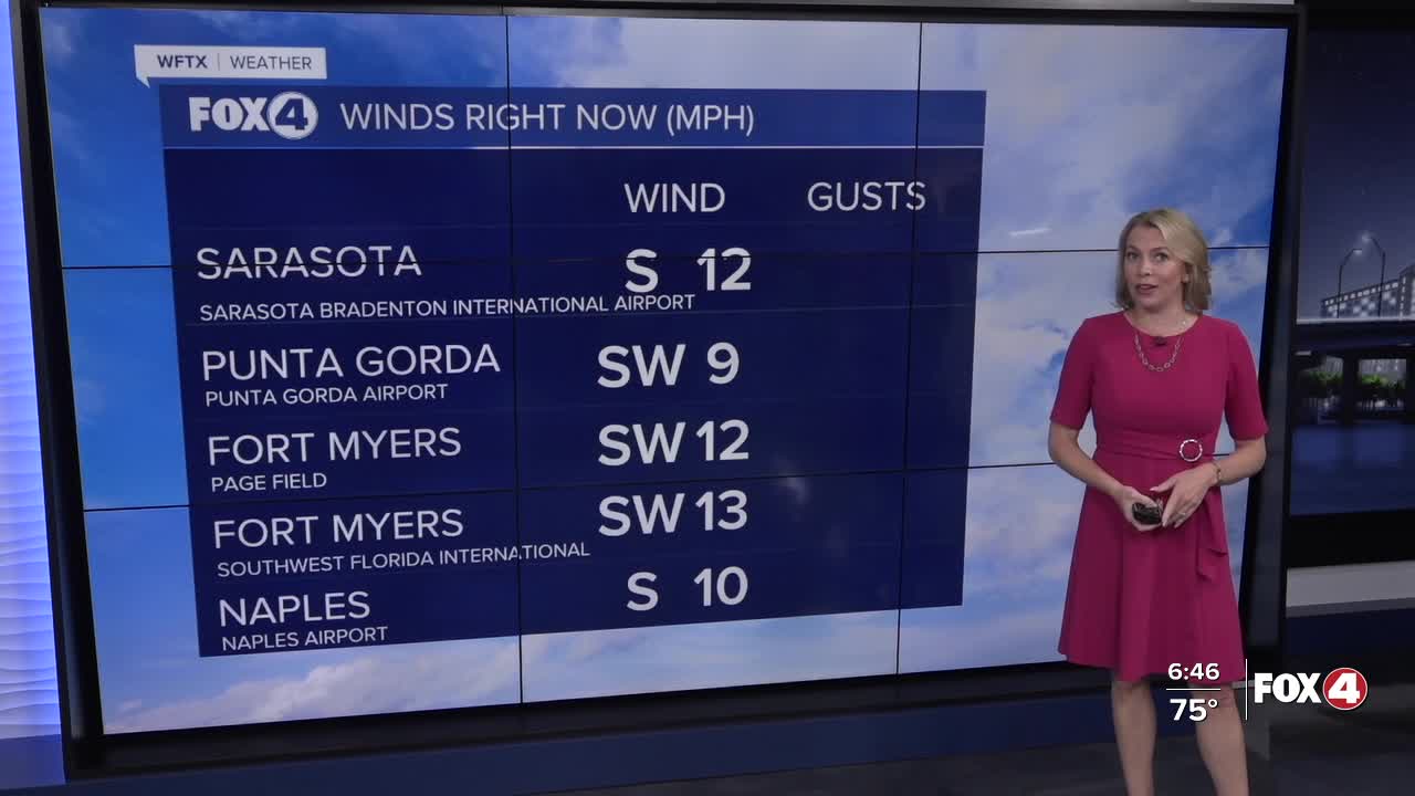
More moisture is building up from the south, leading to higher dew points. As our temperatures drop to those dew points overnight, in combination with a clear sky and calm winds, fog will be developing. This will also be possible heading into the weekend.
Fog should clear by 10am. Thereafter, mostly sunny skies are forecast for the afternoon with highs in the mid-80s.
We'll stay in the mid-80s through Saturday. Our next front arrives Sunday afternoon with a 20% rain chance.
Following this front, MUCH drier air will filter in to start off next week. High temperatures on Monday and Tuesday are only expected in the 60s. Tuesday morning will be our coldest start with wake up temperatures in the upper 30s.
As for rainfall, a few showers are possible Sunday afternoon as the front comes through but with minimal accumulation.
FOX 4 EVENING METEOROLOGIST KATIE WALLS
If you don't already have our Fox 4 mobile app, you can download it here.
