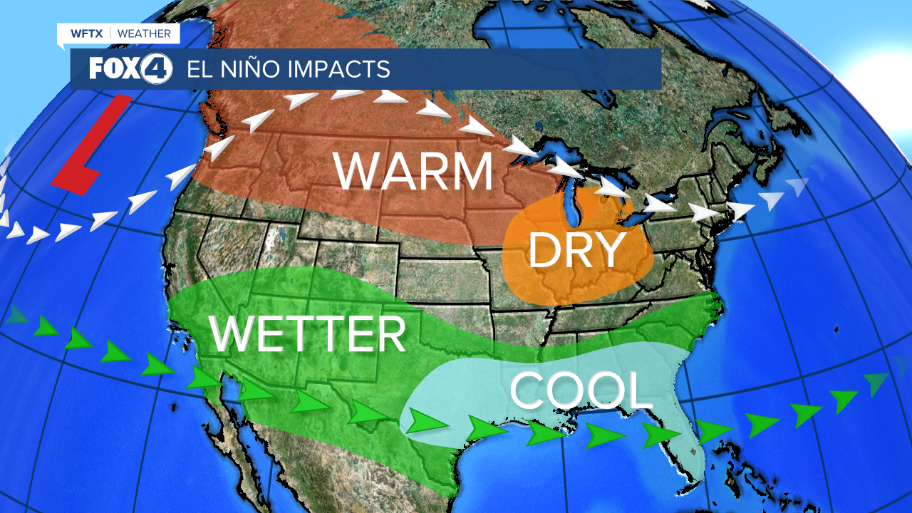
January 2024 is shaping up to be one of the wettest Januaries on record. The reason? A strengthening El Nino.
Fort Myers has already surpassed the normal January total by several inches. If January were to end today, January 17th, it would be the 8th wettest on record. However, we still have another two weeks left with multiple opportunities for more rain.
We dug through records dating back to the 1890s. The last time we had a strong El Nino was in 2016. January 2016 still holds the rainfall record for wettest January at all of our main reporting sites across Southwest Florida.
- Naples recorded 11.83" in January 2016 (the average monthly total is 2.09").
- In Fort Myers, January 2016 produced 12.98" of rainfall (the average January total is 1.85".)
- In Punta Gorda, 9.93" of rain fell in January 2016 (the average January total at PGD is 2.01".)
SO, WHY DO WE SEE SO MUCH EXTRA RAIN IN AN EL NINO PATTERN? The subtropical jet stream tends to be stronger and farther south in an El Nino pattern. That means more storm systems tracking across the southern U.S. and through Southwest Florida. So, instead of getting hit with 1 to 2 cold fronts weekly, we're being hit with 2 to 3 on a weekly basis with a couple days of rain associated with each one.

We also tend to see more severe weather events in the winter months during a strong El Nino. This is not the time of year to let your guard down.
The outlook from the Climate Prediction Center for Southwest Florida's 2023-2024 winter season calls for a strengthening El Nino lasting into next spring.
If you don't already have our Fox 4 mobile app, you can download it here.


